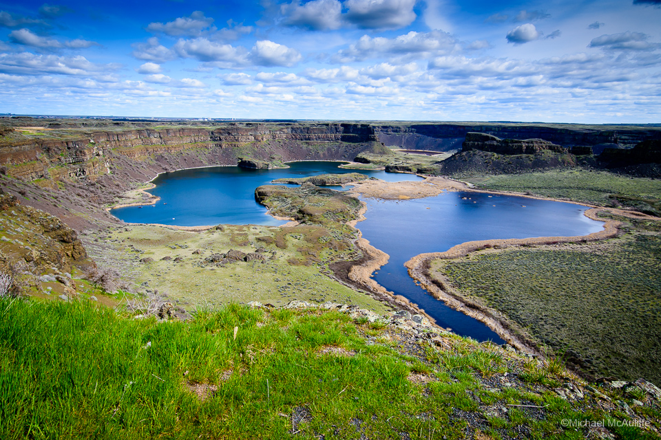
My previous post highlighted Moses Coulee in Central Washington. This post continues the theme of interesting geography east of the Cascade Mountains. Dry Falls, an ancient 400 foot high waterfall in Eastern Washington, bisects the Grand Coulee–a deep 60-mile long ravine that is well-known for the Grand Coulee Dam at its northeast end. As the name implies, water no longer flows over Dry Falls.
Grand Coulee, Moses Coulee and Dry Falls were formed around 15,000 years ago. A giant ice dam in Idaho burst, releasing the water backed up behind the dam in a huge lake in Montana. The floodwaters flowed across what is now Washington state, scouring out the deep canyons and coulees. These floods occurred many times over several thousand years.
The photo (above) is from the Visitor Center at Sun Lakes-Dry Falls State Park. It’s hard to appreciate the size of the cliff from the photo, although the boats in the lake below provide some scale. At 3.5 miles across, it’s estimated that the falls were five times the width of Niagara Falls. Their drop would have been more than twice the drop of Niagara.
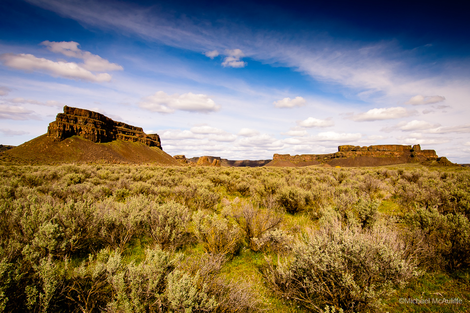
The photo above is from Sun Lakes Park Resort, just down the road from the park’s Visitor Center. As I mentioned in the Moses Coulee post, it’s difficult to believe that this terrain is in Washington, “The Evergreen State.” You could certainly film a good Clint Eastwood western in this area!